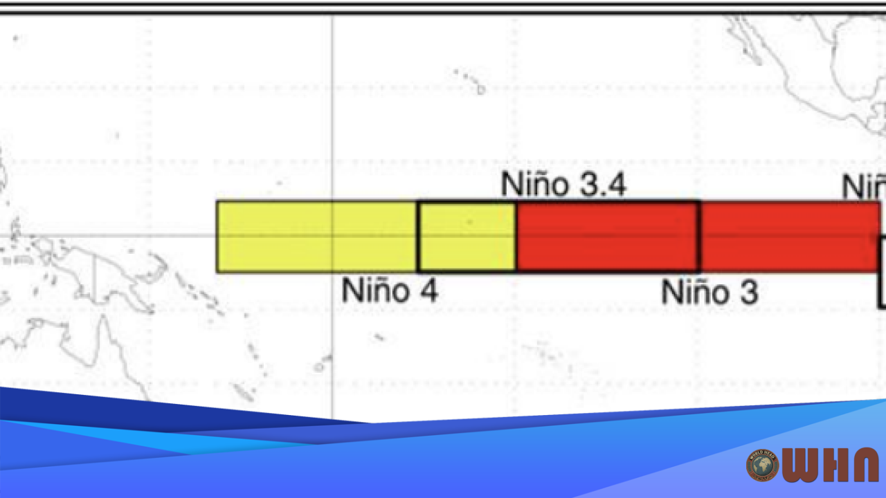
WASHINGTON, D.C. (WHN) – A powerful La Niña pattern is locked in. Federal forecasters at NOAA’s Climate Prediction Center (CPC) released their U.S. Winter Outlook, confirming that this climate driver will shape a season of dramatically different weather across the country.
The forecast isn’t uniform. The presence of La Niña, a cooling of surface waters in the eastern Pacific Ocean, creates a ripple effect that alters the jet stream over North America. This shift, according to the CPC report, directly influences temperature and precipitation patterns for millions of Americans, impacting everything from the daily commute to regional water supplies.
Northwest and Northern Tier: Colder and Wetter
Expect a harsh winter. States from Washington to the western Great Lakes are forecast to experience colder-than-average temperatures. For the Pacific Northwest and Northern Rockies, this cold air will combine with an active, amplified storm track delivering above-average precipitation. Residents should prepare for significant snow accumulation in mountain passes and even in lower-elevation cities.
Key impacts to watch for include:
- Heavy Snowfall: Ski resorts will likely see a banner year, but heavy mountain snow will increase avalanche risks and could disrupt travel along major corridors like I-90.
- Dangerous Cold: The Upper Midwest, including Minnesota and Wisconsin, is primed for arctic air outbreaks, bringing dangerous wind chills that can cause frostbite in minutes.
- Lake-Effect Snow: Colder air passing over the relatively warmer Great Lakes will likely fuel intense, localized bands of lake-effect snow, creating whiteout conditions and poor visibility for drivers.
Southwest and Southern Plains: Warm, Dry, and Worsening Drought
The story is completely different in the South. A persistent ridge of high pressure, a hallmark of La Niña winters, is expected to block storms from reaching the southern tier of the United States. This will lead to warmer-than-average temperatures and, critically, below-average precipitation from Southern California straight across to the Carolinas.
The lack of rain and snow is a serious concern. The U.S. Drought Monitor already shows expansive drought conditions across the West, and this winter pattern threatens to make the situation much worse. The CPC outlook suggests the drought will not only persist but expand across Texas and other parts of the Southern Plains. Officials are urging residents to be mindful of water conservation efforts as reservoir levels are expected to drop.
The Volatile East Coast
The forecast is less certain for the East Coast. While the Southeast is expected to remain warmer and drier, the outlook for the Mid-Atlantic and Northeast is more complex. The position of the jet stream could create a battleground of air masses. This setup, according to forecasters, increases the potential for significant coastal storms, often called Nor’easters.
A single Nor’easter can bring heavy snow, damaging winds, and coastal flooding to major cities like Boston, New York, and Philadelphia. Residents in these areas should have their winter emergency kits ready. The CPC notes that while the overall season may have periods of mild weather, the threat of high-impact winter storms remains a distinct possibility throughout the season. The primary storm track is forecast to be active across the Ohio Valley and into the interior Northeast.