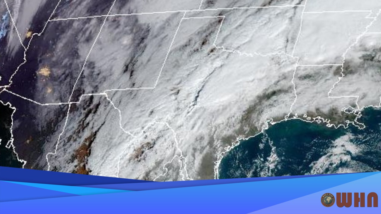
Flash Flood Threat Continues For Texas
AUSTIN, USA (WHN) – The rain isn’t over. A serious flash flood threat continues for a large part of Texas, with forecasters warning that already saturated ground has little capacity to absorb more precipitation.
A stalled frontal boundary is the primary cause. This system, drawing a deep plume of moisture directly from the Gulf of Mexico, is creating the perfect conditions for heavy, prolonged rainfall across North and Central Texas. The National Weather Service (NWS) has issued a Flash Flood Watch for millions, including residents in the Dallas-Fort Worth Metroplex and the greater Austin area. The watch, officials stress, means that conditions are favorable for flash flooding to develop and that residents need to prepare for potential action.
What You Need to Know: Timing and Impacts
The timing is critical. The highest potential for dangerous flooding is expected to occur overnight Thursday and directly impact the Friday morning commute. The NWS warns that “most of the rain is expected to fall in a relatively short period of time,” a factor that significantly increases the flash flood risk.
- Expected Rainfall: Forecasters anticipate widespread accumulation of 2 to 4 inches through Friday. Some isolated areas, however, could see totals reaching up to 6 inches, especially where thunderstorms repeatedly move over the same locations.
- Primary Impact: The main concern is flash flooding. This includes the rapid rise of water in creeks, streams, and urban areas with poor drainage.
- Travel Disruption: The Friday morning commute will likely be hazardous. Low-lying roads and underpasses are particularly vulnerable to flooding, and drivers should expect delays and potential road closures. Visibility may also be low during the heaviest downpours.
Safety is Paramount
Officials are urging extreme caution. Emergency managers emphasize that it takes very little moving water to sweep a vehicle off the road. Residents living in flood-prone areas should be ready to move to higher ground if a warning is issued for their specific location.
The NWS continues to promote its “Turn Around, Don’t Drown” campaign. It’s a simple message. Never attempt to drive through a flooded roadway, as the depth of the water is impossible to judge and the road beneath could be washed out entirely. Having multiple ways to receive weather alerts, such as a NOAA Weather Radio and smartphone apps, is strongly recommended, especially for warnings that may be issued overnight.
The weather pattern is expected to finally shift this weekend. A push of drier air should move into Texas by Saturday, bringing an end to this persistent and dangerous threat of heavy rain.