Wintry Threat Approaches Baltimore This Week
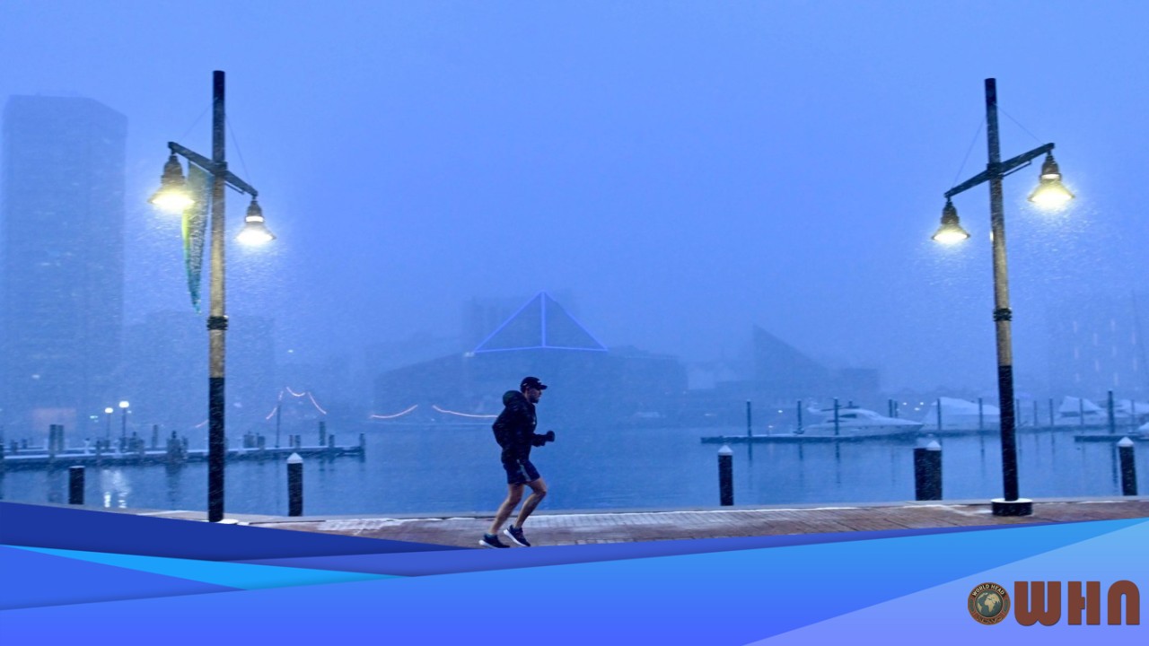
BALTIMORE, United States (WHN) – Residents in the Baltimore metro area should prepare for a hazardous commute Wednesday morning. A potent weather system is set to arrive Tuesday, beginning as rain but transitioning into a dangerous wintry mix overnight as temperatures plummet.
The main threat isn’t snow. It’s ice. According to forecasts from the National Weather Service, a rapid temperature drop late Tuesday night will turn wet roads into slick, icy surfaces just in time for the Wednesday morning rush. The areas of greatest concern, where ice accumulation is most likely, are north and west of the I-95 corridor, including parts of Baltimore County, Carroll County, and Harford County. The city of Baltimore, however, is not exempt from this threat.
Timing and Primary Impacts
What you need to know is all about the timing. This system’s danger lies in its arrival during a period of heavy travel. Here’s a breakdown of what to expect:
- Tuesday Afternoon and Evening: Rain will move into the region. Temperatures will be relatively mild, staying in the low 40s, so travel impacts will be minimal beyond wet roads.
- Tuesday Night (after 10 PM): A sharp cold front will push through. Temperatures are expected to fall below freezing after midnight, setting the stage for the transition.
- Wednesday Morning (1 AM – 7 AM): This is the critical period. As cold air rushes in, the rain will change over to a mix of sleet and freezing rain. This will create a glaze of ice on untreated surfaces.
- Wednesday Commute: Expect extremely slick conditions, particularly on bridges, overpasses, and untreated secondary roads. Visibility may also be reduced during the changeover.
Accumulation and Safety
Ice accumulation will be the primary concern. Forecasters predict a light glaze of ice, potentially up to one-tenth of an inch, is possible on elevated surfaces and tree branches. While snow accumulation is expected to be minor, likely just a coating, the ice poses a significant risk. WHN Chief Meteorologist David Chen called the timing “the real problem here,” noting that a little bit of ice can be more dangerous than several inches of snow.
Residents should prepare for dangerous travel conditions. The National Weather Service is urging drivers to slow down and use extreme caution if travel is necessary on Wednesday morning. The weight of the ice on tree limbs and power lines also introduces the possibility of scattered power outages across the region. It’s a good idea to make sure your electronic devices are charged Tuesday night. Precipitation is expected to end by mid-morning on Wednesday, but temperatures will remain below freezing for much of the day.


