Snow Hits Cascade Passes And East Slopes Overnight
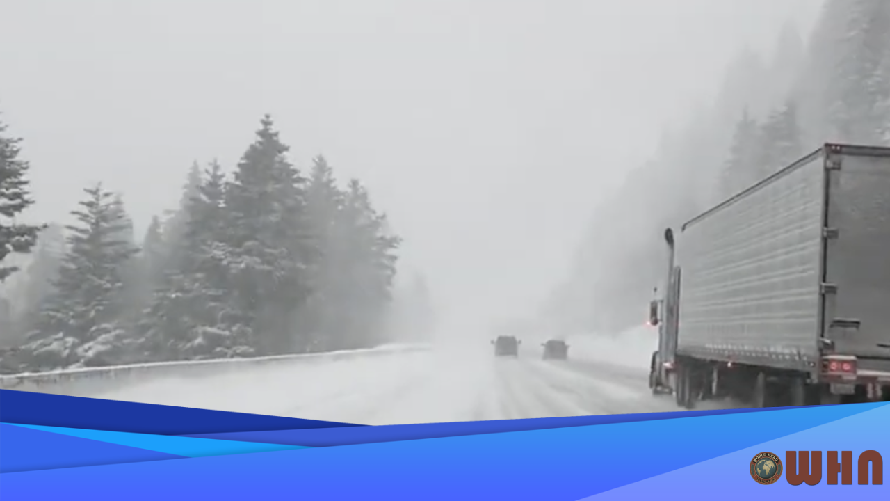
SEATTLE, United States (WHN) – A potent winter system delivered a significant blanket of snow to the Washington Cascades overnight, creating hazardous travel conditions for the morning commute over key mountain passes.
The snow began falling late Tuesday. It intensified through the early morning hours, leaving several inches of fresh powder at higher elevations. The Washington State Department of Transportation (WSDOT) has been working to keep routes open, but officials are urging caution. The heaviest accumulation, according to National Weather Service (NWS) reports, has been concentrated on the primary east-west corridors.
Pass Conditions and Travel Impacts
Travelers face difficult conditions. The overnight storm, which brought cold air down from the north, resulted in slick roads and sharply reduced visibility. WSDOT has enacted chain requirements and traction advisories for most of the morning.
Here’s what you need to know for specific locations:
- Snoqualmie Pass (I-90): The pass received between 6 and 10 inches of new snow. Traction tires are advised, and oversized vehicles are restricted. Drivers should prepare for delays as plows work to clear the roadway.
- Stevens Pass (US-2): Stevens Pass saw higher totals, with accumulation reports showing 8 to 12 inches. Chain requirements are in effect for all vehicles except all-wheel drive. Gusts of up to 35 mph are creating blowing snow, making visibility extremely poor at times.
- Eastern Slopes: Areas east of the Cascade crest, including around Leavenworth and Lake Wenatchee, recorded 4 to 8 inches above 2,500 feet. Residents in these communities should expect snow-covered secondary roads.
Safety and Official Guidance
Officials are focused on safety. WSDOT spokesperson James Bentley stated that crews are “working around the clock,” but urged drivers to slow down and give plows plenty of room. Bentley added that anyone who does not need to cross the passes today should “consider delaying your trip until conditions improve.”
The National Weather Service has also issued warnings. A winter weather advisory remains in effect for the region until late this afternoon. For those planning on recreating, the Northwest Avalanche Center notes that the new snow is resting on an unstable older layer, increasing backcountry avalanche danger. Anyone heading into the mountains should carry an emergency kit with extra food, water, and warm blankets.
The main band of snow is expected to taper off to scattered flurries by this evening. However, a second, weaker system is already on the horizon. That system is forecast to arrive late Thursday, bringing another 2 to 4 inches of accumulation to the passes. Temperatures at pass level are expected to remain below freezing for the next 48 hours.


